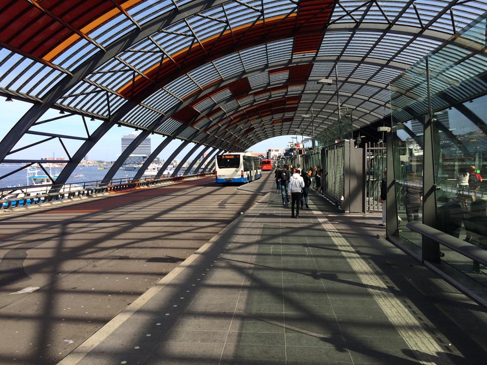
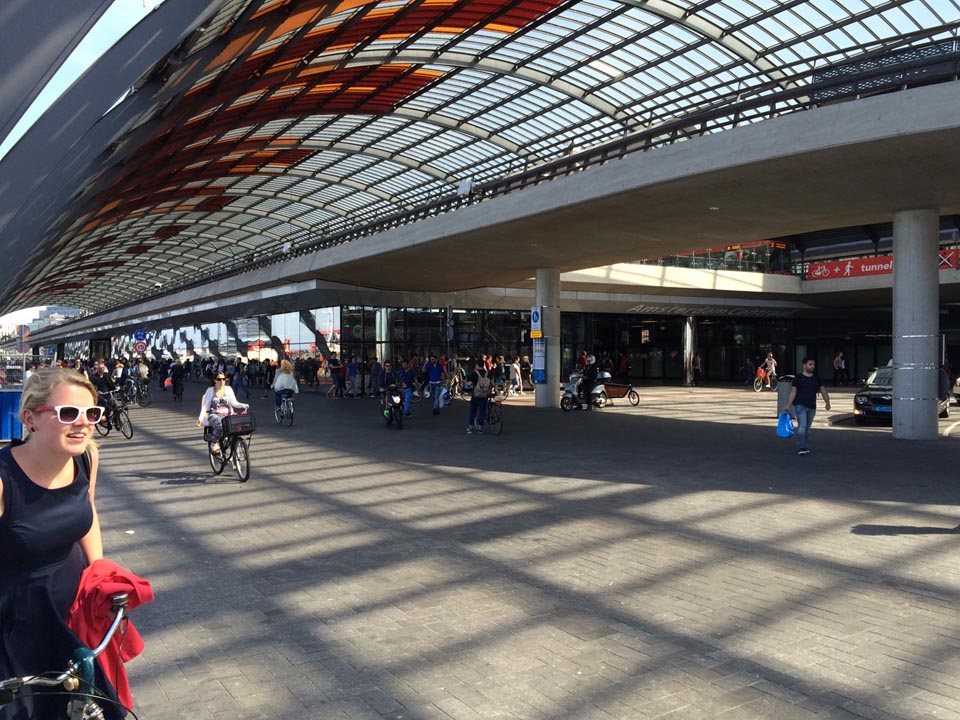
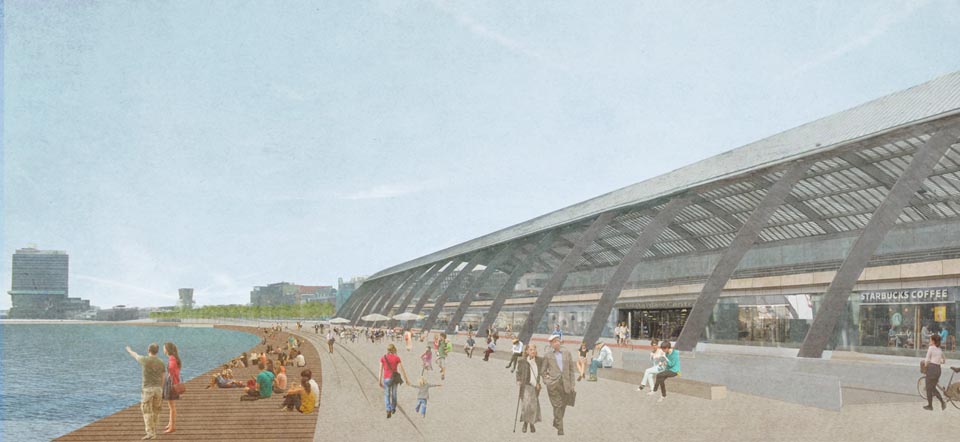
Central Station was built in the IJ estuary in the 19th century. The fathers of the city were not able to make the decision, hence was the decision made in The Hague. This position of the new gate to the city saved the old city from decline and saved the rest of the town from a divisive railway track but barred Amsterdam from its reason for existence: the harbour. In the following century tram and bus stops were developed mainly south of Central Station. At the end of the 20th century the city decided to build a North-South metro line. The main stop would be under the existing Central Station. All traffic modalities needed to be reorganised. A new bus terminal was needed. The Amsterdam Planning Department cooperated with the architects of the metro line, BCA architects, in finding the solutions. Lifting the bus terminal to train level and diverting the cars in two one way tunnels opened the possibilities for a logical ‘travelers junction machine’and alsofor a promenade along the waterfront. Here new entries to the quayside could be created. New connections for pedestrians and cyclists at grade have restored the links between the historical city and the waterfront. In no time the new bike route intergrated with the promenade( the Dutch also walk by bike????)became the busiest in town. The space south of Central Station was liberated from bus stops and can once again become water. Central Station now lives up to its name. It has become a truly central node in a city that reestablished its relation with the estuary.